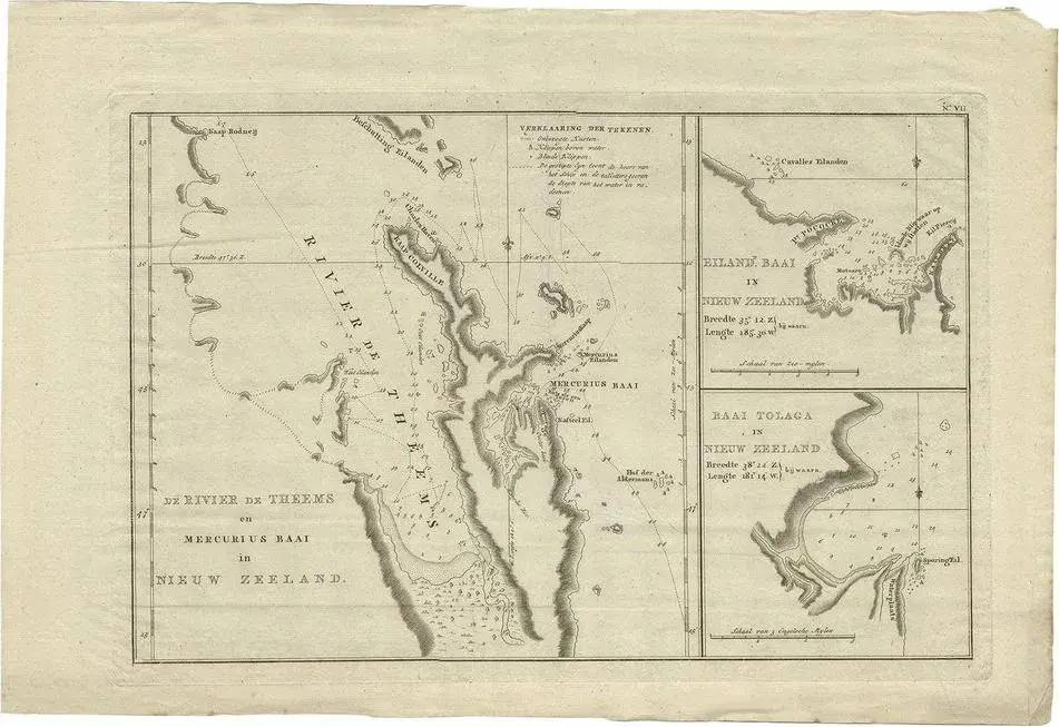
Antique map New Zealand titled ‘De Rivier de Theems en Mercurius Baai in Nieuw Zeeland’. Detailed map of New Zealand showing the route of Captain Cook’s first voyage. with inset maps of the Coromandel Peninsula, The Cook Straight, The Bay of Islands and Toglaga Bay. Originates from ‘Reizen Rondom de Waereld door James Cook (.)’. Artists and Engravers: Translated by J.D. Pasteur. Published by Honkoop, Allart en Van Cleef. See less
- Dimensions
- 20.47ʺW × 13.78ʺH
- Period
- Early 19th Century
- Item Type
- Vintage, Antique or Pre-owned
Shop Sustainably with Chairish
- Materials
- Paper
- Condition
- Good Condition, Unknown, Some Imperfections
- Color
- Gold
- Condition Notes
- Very Good — This vintage item has no defects, but it may show slight traces of use. Condition: Very good, … more